It seems I’ve finally gone west enough to be able to start my outdoorsy wandering in earnest. While my camping hitherto has been entirely just staying overnight at a place outdoors on my way to somewhere indoors, I’m now camping in earnest and exploring all the truly hard-to-fathom beauty of these so-called United States of America. I’m writing this now from Gila Box Riparian National Conservation Area (NCA) in eastern Arizona. There are many many designations and categories of public land in the US managed by an alphabet soup of agencies, both state and federal. Federal lands may be be managed by NPS, USFS, USDA, BLM, and surely many others. In this post, I’m going to relate my movements over the last week. I’ve covered lots of ground!
Gila Box Riparian NCA
Gila Box is administered by BLM (Bureau of Land Management), part of the US Department of the Interior. BLM formed in the 1940s from a merger between the Department of the Interior’s Grazing Service and their General Land Office. In 1976, the Federal Land Policy and Management Act of 1976 (FLPMA), established BLM’s dual mandate: managing public land for multiple uses and also conserving natural, historical, and cultural resources. Gila Box is an NCA, which is a special designation of BLM land that emphasizes the conservation aspect of BLM’s mission here. Gila Box is only one of two riparian (river) NCAs.
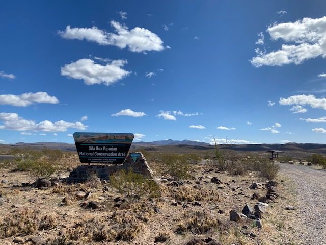
Nowadays, BLM administers huge swaths of broadly-public land across the western US, including managing cattle grazing on those lands by ranchers. I say “broadly-public,” because BLM land is, as far as federal land goes, the most free-for-all you can get. Unless otherwise stated for a specific location, on BLM land you can camp anywhere, drive nearly anywhere, fish, shoot guns, live (in one spot for up to 2 weeks at a time), and more. For this reason, people living in their vehicles (like myself) love boondocking on BLM land. Boondocking is the term used for staying (or living) on public land, disconnected from amenities. (For anyone considering boondocking, I recommend Freeroam app for finding BLM land. It took me some time to figure out how exactly to find BLM land before I found this app. Hopefully this may help someone out.)
Today, I found a rocky cliff and climbed around, ate my lunch, journaled, and recorded a meditation (which will be made available one day, once I have a couple more recorded). I later walked to a stream and took a much-needed (soapless) rinse.
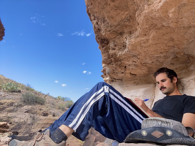
Journaling on my cliff 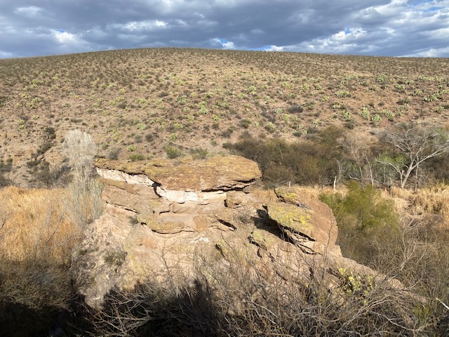
My cliff from a distance 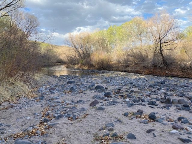
My bathing stream 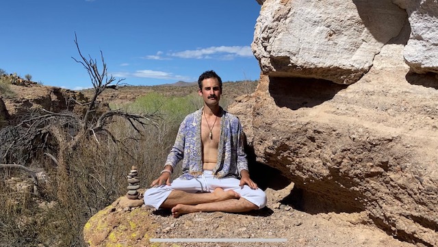
Video available in the future!
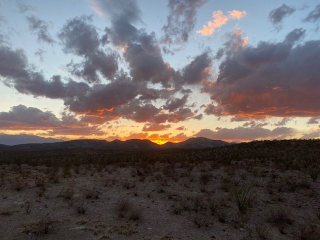
And now here I am on a windy hilltop, off a dirt road, sitting in front of a fire of my own making, very much alone; no permits, no gates, no one around. When I was driving in, I passed a BLM officer in his truck; we waved at each other and drove on.
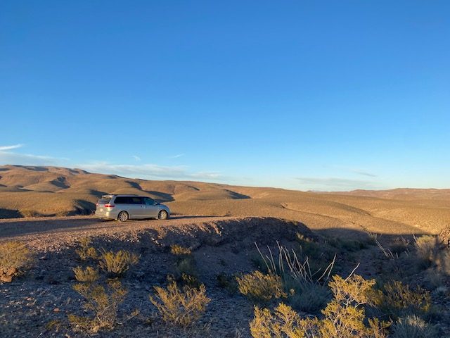
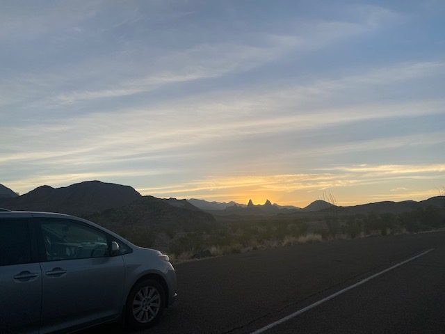
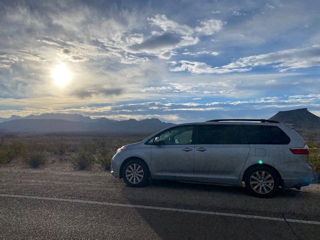
Now, getting to this particular spot was a bit dicey, as far as the unpaved roads are concerned. Once again, I’m grateful for my minivan’s AWD, which I got for this express purpose (at my friend Gary’s recommendation). Side note: I’ve been noodling on the name Mango for the minivan; I think I’m going with it. I’ve been putting Mango through some tough love. At one point, I think I may have broken a piece of plastic of its undercarriage as I pulled a 6- or 7-point turn on a dirt road. This afternoon, I strapped some wood to the roof so that I could build a fire. As helpful as AWD is, there were still some roads I chose not to risk. As much as I wish it were otherwise, Mango is not an off-road vehicle, so I need to be smart. But there are even parts of Gila Box that would be perfectly accessible to a standard sedan.
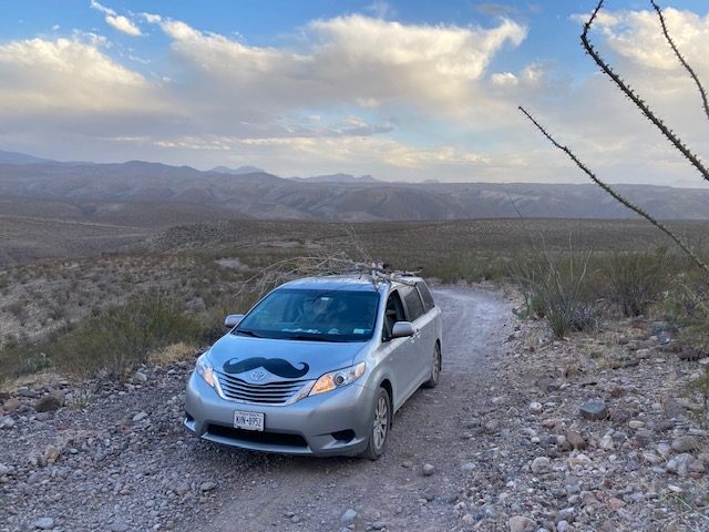
Lincoln National Forest
Speaking of smart, a few nights ago, I stayed overnight in Lincoln National Forest, in southeastern New Mexico. National Forests, administered by US Forest Service, allow boondocking in many locations, but they tend to have more limitations than BLM land. I chose this forest for its proximity to White Sands National Park, and I planned to simply overnight in the forest before heading to White Sands. Well, when I planned my stay in Lincoln National Forest, I failed to consider weather and altitude. I’d been in Texas, where the nights were cold, but the days were very pleasant.
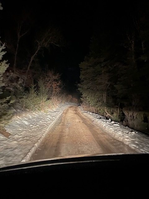
You can imagine my surprise as Mango and I climbed the mountain roads in the dark and I began seeing snow flanking the road. I could see the external temperature falling as I drove: 34, 31, 28, 26. Well, at that stage, I was committed to my overnight plan, so I was determined to find myself a place to sleep. I’d read on the forest’s website that you’re allowed to camp up to 300 feet off of any open public (non-highway) road. Easy! I pointed my GPS to a random road in the forest and headed there. Well, it turned out to be harder than I’d thought. The road I was aiming for turned out to be a private road. So was the next road I tried. And the next one after that.
It was time to try something else. I found myself a phone signal and got to Googling. I found myself at an app (Avenza) where I could download USFS motor vehicle maps for free. I got to the map I needed and found myself some roads that explicitly permit dispersed camping. While I was keen to take them up of that offer of camping anywhere off a public road, the snow cover seemed to make things harder, and I figured it was 9pm and time to just take the easy route. Well, the easy route ended up being up a few steep dirt roads, which were surprisingly clear of snow or ice. I finally spotted something that could be construed as a campsite, and I dragged Mango up a snowy slope and parked it on as level a surface as I could find. As I settled in for a cold night, I mused that I might be in trouble if I were to be snowed in overnight. “Meh, what are the odds of it snowing?” I told myself, as I drifted off to sleep.
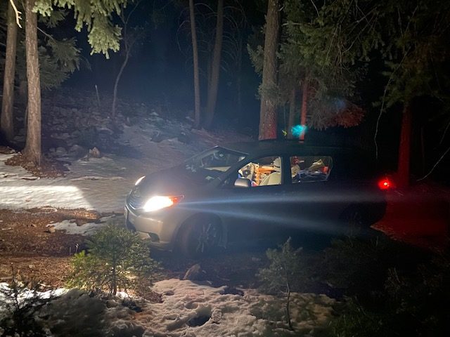
I woke up to this.
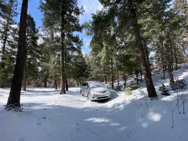
It turned out to be only a dusting, maybe an inch and a half. But to be sure, after a wintery walk and meditation, I took the roads out more carefully than I had on my way in.
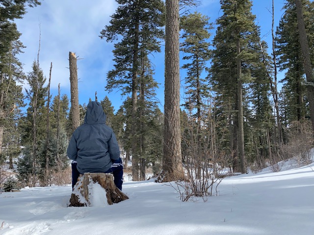
Morning meditation 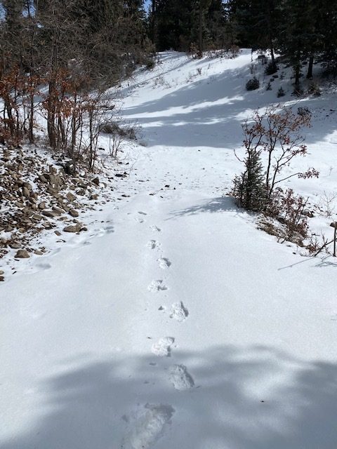
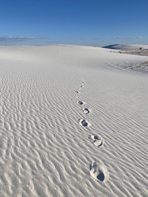
Leave only footprints
White Sands
Having left a white snowy mountainside, I descended into a strikingly similar-in-appearance valley. Take a look at this photo of this snowy road!
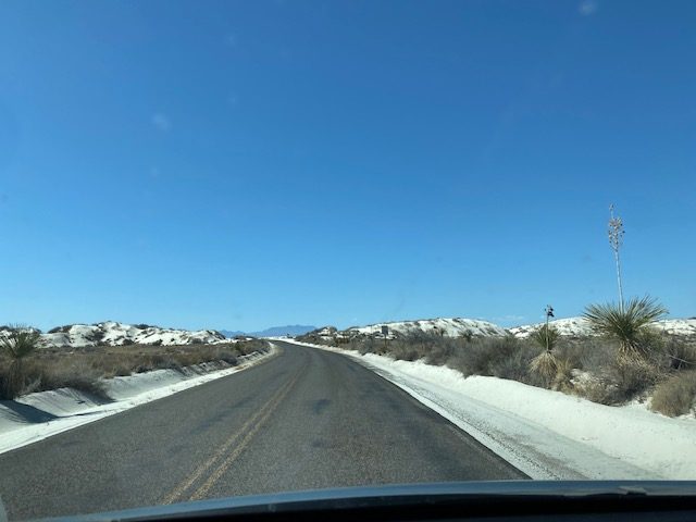
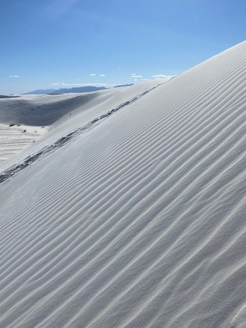
Gotcha – not a snowy road. That’s gypsum sand, and it’s the main attraction at White Sands National Park. In fact, the gypsum comes from the mountains I had just slept in, in Lincoln National Park. Over eons, the gypsum in the rock formations washed down into the valley. When the water dried out, the gypsum crystallized into selenite. Finally, over time, the selenite broke down into tiny grains of gypsum, carried by the wind around the valley, and forming formidable sand dunes.
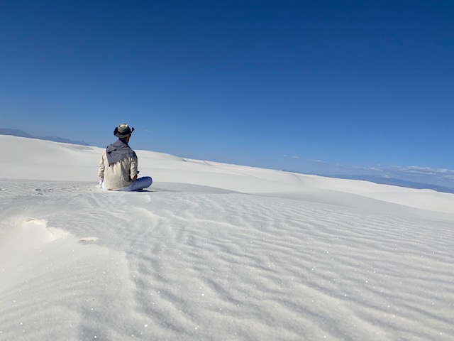
Talk about an alien landscape. I walked the 5-mile Alkali Flats trail entirely barefoot. The weather was in the low 60s, and the sand is cool and comfortable to walk on. The trail isn’t really a trail. It’s just a 5-mile loop through the dunes marked by bright orange posts in the land. Because the dunes are always moving and shifting, the posts sometimes get moved around, and thus the trail shifts. White Sands is not really a desert, because a few inches beneath the sand is water. Of course, the copious sand still makes it hard for things to live out there, but there are a handful of plants and animals that call White Sands home, as long as they can dodge the missiles. (Did I mention White Sands is an active army missile range? Apparently they close the park a few times a week for missile testing. Only a small portion of White Sands is accessible to the public.)
My 5-mile walk was really lovely. The scenery got a bit monotonous after a while, but I never got tired of walking barefoot in the sand, often stepping away from the main path, marked by many sets of footprints, and forging my own set of footprints onto some unexplored ephemeral dune. My meditative solitude was abruptly interrupted as I approached the end of the loop and heard the loud carousing of a family group of a dozen or so on top of a dune, shouting, playing, and sledding (lots of people bring small sleds and ride them down the dunes). Call me a grump, but I really think people should observe some sort of decorum and consideration for others when in public spaces such as natural parks. This isn’t your back yard or a town park. You don’t need the awe-inspiring backdrop of a national park to play your game of football.
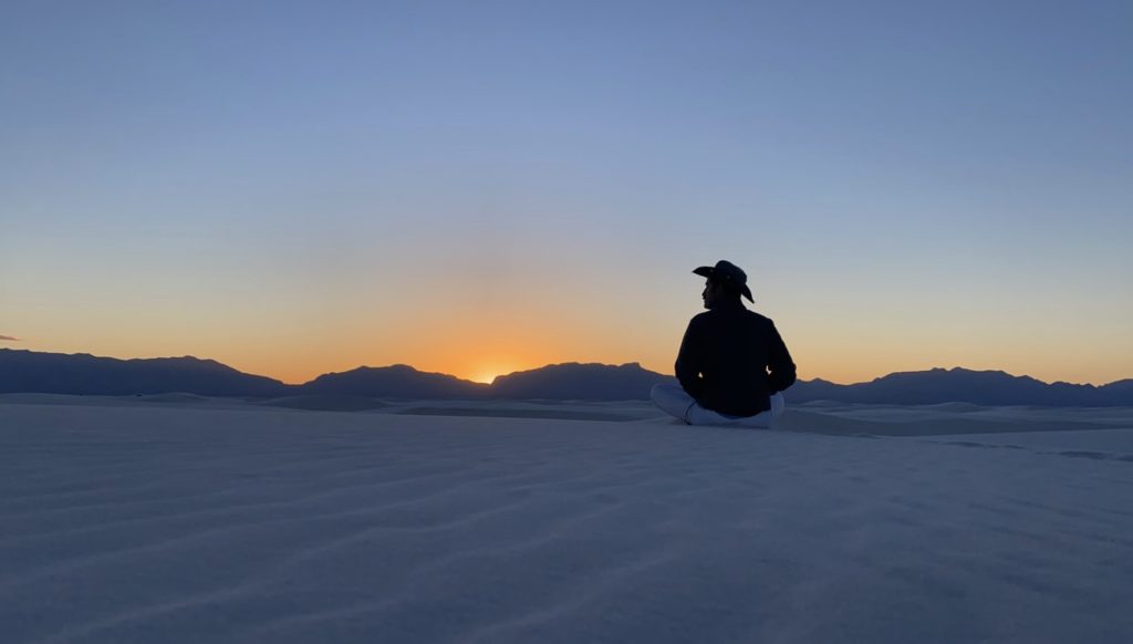
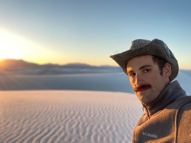
Anyway, I grabbed some palo santo and a lighter and got as far away from the carousers as possible to watch the sun set behind the mountains to the west of the valley.
Big Bend National Park
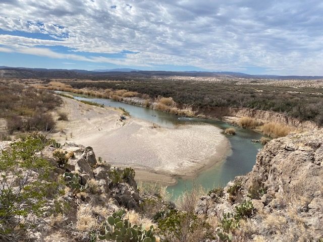
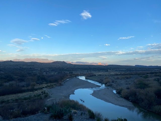
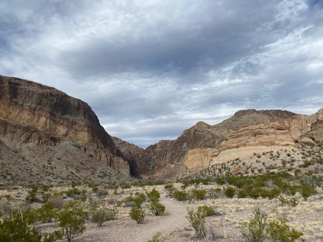
I’m going a little out of order, as Big Bend was the first place I went after WWOOFing. Big Bend has three unique ecosystems: desert, mountain, and riparian (it’s bounded to the south by the Rio Grande river). In my two days there, I covered all three, and they were all pretty breathtaking. Big Bend is also a geology buff’s dream. You can see various layers of rock all around you in the mountains, plateaus, and other outcroppings. Not to mention the other formations from water and wind erosion. It’s all really fascinating and gorgeous.
On my first hike, I walked along the Rio Grande, and I waved to the Mexicans on the other side. I even bought tamales from one intrepid Mexican who crossed the river on a horse to sell crafts (and, apparently, tamales). (Actually, I didn’t have cash with me, so I traded him a Clif bar; he seemed happy with the trade.)
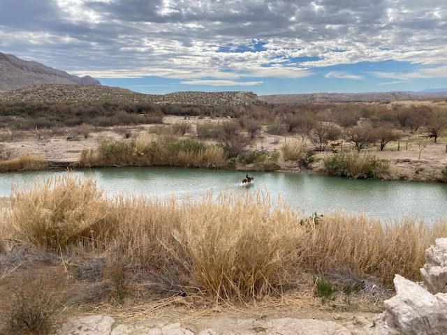
Intrepid caballero crossing
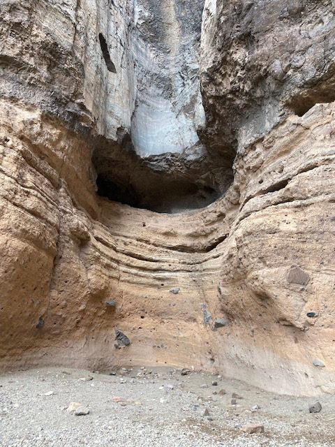
On another hike, I walked on a dry riverbed to a cliff over which water flows in heavy rains, and where the water erosion is beautiful and leaves a pocked rock wall that seemed perfect for a bold rock climber (which I am not).
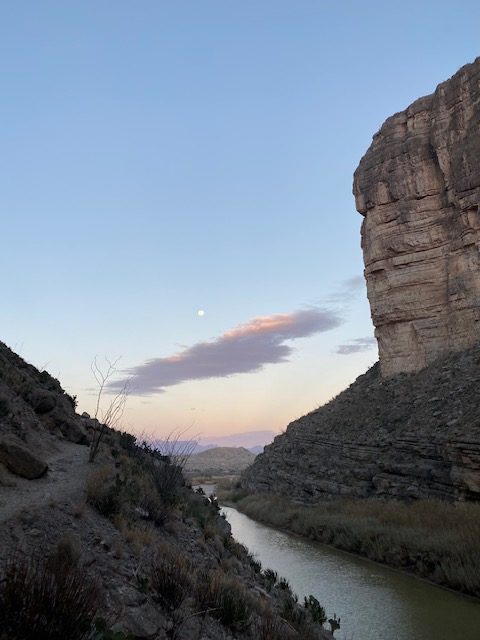
On my last river hike, I walked through Santa Elena canyon, a watched the sunset color the distant mountains purple. That area cleared out well before dark, and I had the whole place to myself, soaking it all up in the alarmingly-bright moonlight. I meditated, hummed beautiful tunes from my heart, and howled at the moon. I hiked out of the canyon entirely by moonlight, without turning on my headlamp. It was magical.
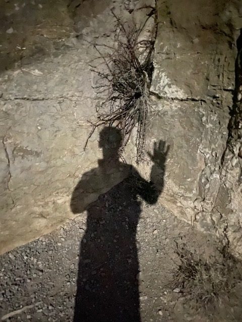
My shadow in the moonlight
For my mountain hike, I chose the longest day-hike and the tallest peak. Signs pegged it at 7 hours round trip, but I made it to the top in 2.5 hours. But to be sure, I took plenty of time at the top and all along the way down. As I got close to the bottom, I noticed an unusual happening next to the trail. Someone had set up two microphones, 6 feet apart, and was interviewing strangers for a podcast. That kind of random joy is right up my alley, so I stopped and had an awesome conversation with Terrence for his podcast Down By the River. Terrence is a comedian who, like me, left NYC to travel in a van. I had a really great time talking to Terrence, and he seemed to appreciate my mystical perspective. He and I exchanged information, and I’d give it a decent chance that our paths will cross again.
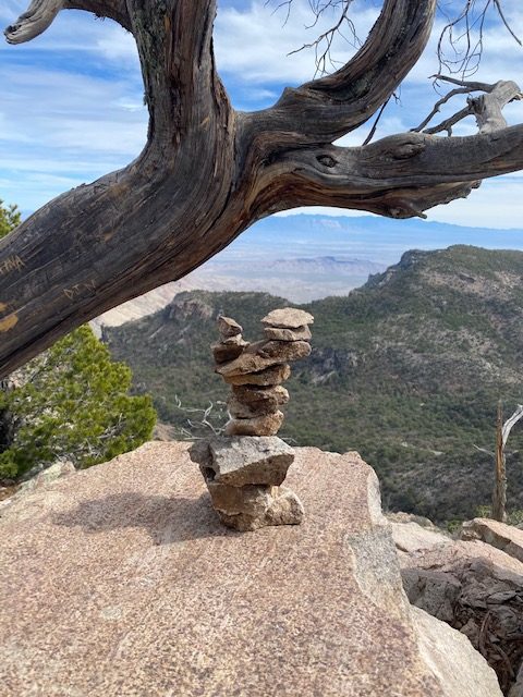
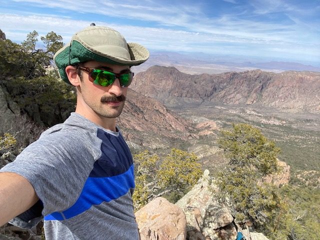
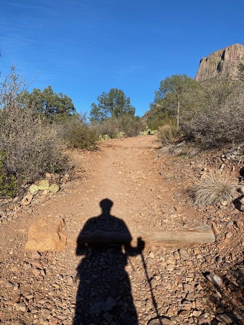
Just me and my shadow 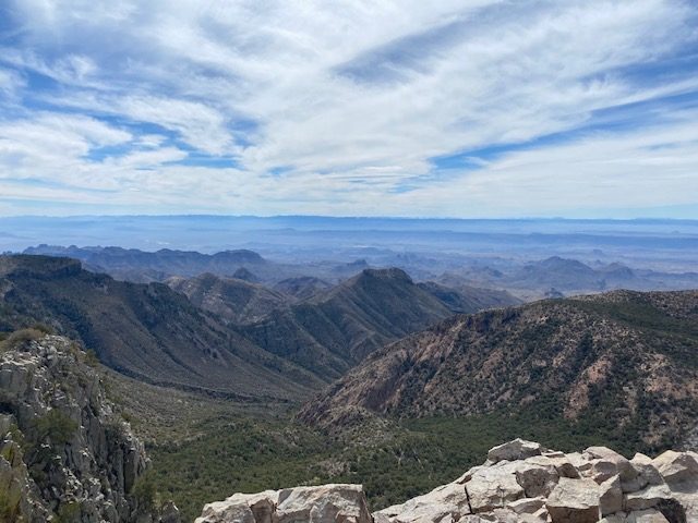
View from the south rim
Meeting Terrence may have primed my pump for meeting people. Later than evening, I chatted with another fellow vanlifer, and then I spoke with a few more in the subsequent days! I guess it’s a relatively small number of people doing this (and a lot of them seem to be from NYC, maybe unsurprisingly), so that’s maybe an easy excuse for striking up conversation. I look forward to more encounters with other weirdos like me.

Hi Wandering Mystic. You merged in front of us at the highway construction just north of Santa Fe today and I had to look “@awanderingmystic.” We loved your “be kind, notice the magick.”
We are recently retired and have been spending winters in our older motorhome on the dusty beaches of Mexico. My husband and I live in Truchas, way up on the mountain, are both artists, and had an art gallery (closed now due to Covid.) We were down in ABQ today picking up my new guitar!
Anyhow, just wanted to say hello and happy wandering.